Mont To (boucle)
Interactive map
GPS track profile
About this GPS track
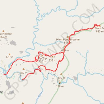
Name: Mont To (boucle) GPS track, route, trail
Start: Route du Barrage, Dumbéa, Province Sud, Nouvelle-Calédonie, France (-22.13868 166.50099)
Coordinates: -22.13874 166.48871 -22.10490 166.55229
Other GPS tracks
Click on a GPS track to view route, its statistics and profile.
Boucle de la Dumbéa, branche Est. on GPSies.com
France > Province Sud > Dumbéa
Route du barrage de Dumbéa.
Distance: 22.5 Km • Elevation gain: 1,059 m • Maximum elevation: 518 m
L'ancien barrage de Dumbea près de Nouméa
France > Province Sud > Dumbéa
Distance: 7.0 Km • Elevation gain: 157 m • Maximum elevation: 134 m