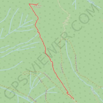
High Rock Lookout
Interactive map
GPS track profile
About this GPS track
Name: High Rock Lookout GPS track, route, trail
Start: Forest Road 8440, Lewis County, Washington, United States (46.66651 -121.89144)
End: Forest Road 8440, Lewis County, Washington, United States (46.66651 -121.89144)
Coordinates: 46.66651 -121.90357 46.68446 -121.89144
Other GPS tracks
Click on a GPS track to view route, its statistics and profile.
Northern part of the Pacific Crest Trail (PCT)
United States > Oregon > Klamath County
Hike on the Pacific Crest National Scenic Trail from Crater Lake to Canada Border through Oregon and Washington along the Sierra Nevada and Cascade mountain ranges. #Hike #Mountain #SierraNevada #Cascade #Nature #Forest #Park #PCT
Distance: 1,198.3 Km • Elevation gain: 44,308 m • Maximum elevation: 2,307 m