Munro hillwalk Carn Bhac
Interactive map
GPS track profile
About this GPS track
Name: Munro hillwalk Carn Bhac GPS track, route, trail
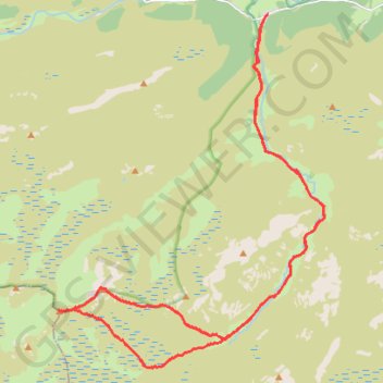
Start: C1M, Muckle Inverey, Inverey, Aberdeenshire, Scotland, AB35 5YB, United Kingdom (56.98514 -3.50001)
End: C1M, Muckle Inverey, Inverey, Aberdeenshire, Scotland, AB35 5YB, United Kingdom (56.98513 -3.50005)
Coordinates: 56.91459 -3.57686 56.98520 -3.47942
Other GPS tracks
Click on a GPS track to view route, its statistics and profile.
Planned eMTB Gravel: Linn of Dee -> The Red House Bothy - TnB
United Kingdom > Scotland > Aberdeenshire
Following the River Dee west from the Linn of Dee
Distance: 15.2 Km • Elevation gain: 100 m • Maximum elevation: 441 m