Apache Peak
Interactive map
GPS track profile
About this GPS track
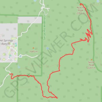
Name: Apache Peak GPS track, route, trail
End: Pacific Crest Trail, Riverside County, California, 92599, United States (33.71861 -116.62690)
Coordinates: 33.69065 -116.65229 33.71891 -116.62252
Other GPS tracks
Click on a GPS track to view route, its statistics and profile.
Pacific Crest Trail (PCT) through San Bernardino Forest and Santa Rosa and San Jacinto Mountains
United States > California > Riverside County
Hike from Bull Canyon Parking to Snow Creek along the Pacific Crest National Scenic Trail via Lion Peak, Pyramid Peak, Cedar Spring, Palm View Peak, Fobes Saddle, Spitler Peak, Apache Peak, Apache Spring, Antsell Rock, South Peak, Red Tahquitz, Tahquitz Meadow, Powderbox Spring, Middle Spring, Jolley Spring, Idylwild, Deer Springs…
Distance: 95.0 Km • Elevation gain: 3,982 m • Maximum elevation: 2,737 m